【まとめ】2025年の新潟ブログを一挙にご紹介!
こんにちは、riceです。
...
The dataset is open data provided by local governments in Niigata Prefecture that has been processed to be quickly collected and analyzed. It has been cleansed and is ready to use. Niigata Open Data provides datasets that include recommended data sets (basic version) published by local governments in Niigata Prefecture. The datasets are ready for analysis, so it helps you visualize and map data by BI tools immediately. The details of the dataset are as follows.
You can check the data stored status of recommended data sets (basic version).
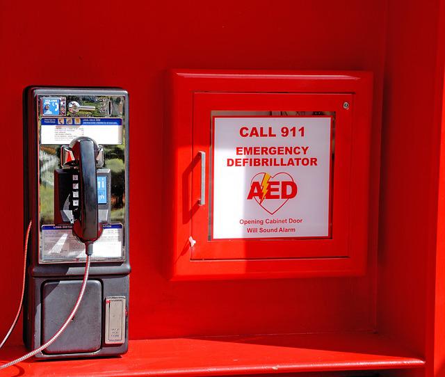
This is a list of AED locations.
This dataset allows you to search for the nearest AED from your current location.
This dataset also allows you to promote efficient and effective AED installation.

List of nursing care service offices.
This dataset can be combined with local mobility information.
You can then search for care services that meet your individual needs.
This is a list of hospitals and clinics.
This dataset can be combined with location and mobility information.
You can then search for medical facilities where you can be seen.


This is a list of cultural assets that have been designated, registered, or selected by the national or local government.
This dataset can be combined with mobility information.
You can then allow easy access to cultural properties of interest.
This is a list of tourist facility information.
This dataset can be combined with mobility information.
You can then efficient itinerary creation and access to tourist facilities.
◆Uonuma City & Sanjo City Tourist Facilities Map
→We are creating tourist facilities map using Niigata Open Data.


This is a list of events held in each local government.
This dataset can be used not only by local residents information can be provided to a wide range of people.
It is also expected to contribute to attracting visitors.
This is a list of public wireless LAN access points.
This dataset can be used to determine where the Internet is available.
It is easy to identify.
It is also expected to improve convenience for travelers.

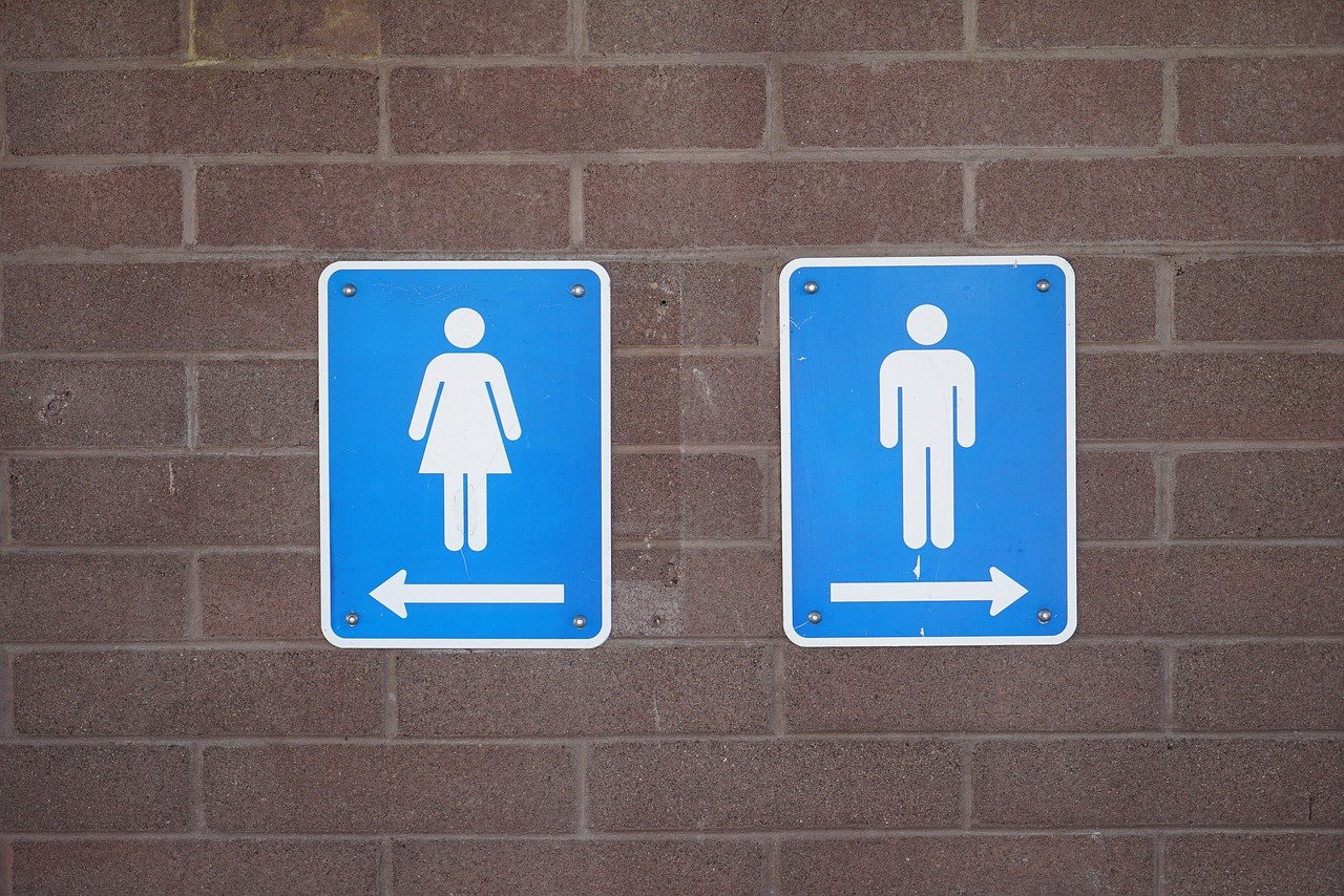
This is a list of public restrooms.
This dataset can be used to display on a map in an application, etc.
You can then search for public restrooms in the vicinity.
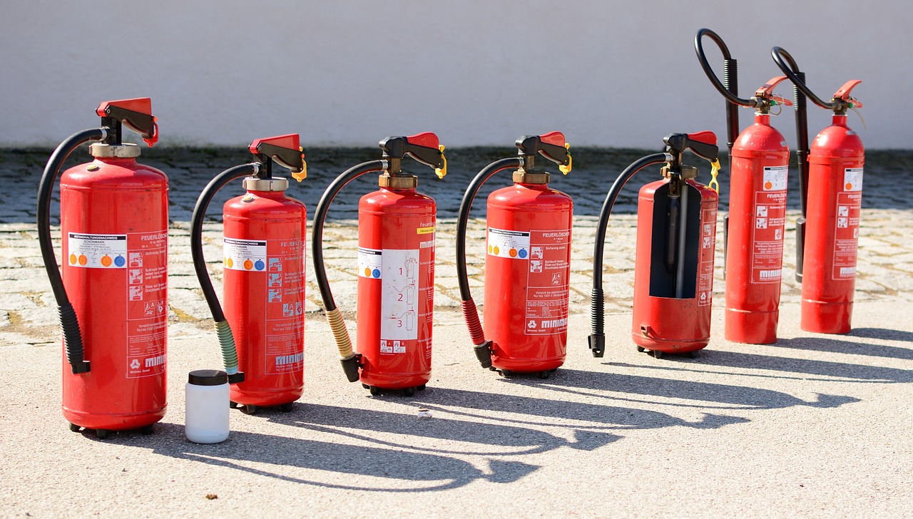
This is a list of fire hydraulic facilities.
By using this dataset, even outside of your area of responsibility, The location of the nearest fire hydraulic facility can be searched.
You can then quickly respond to the situation.
This is a list of designated emergency evacuation sites provided by municipalities.
This dataset will enable prompt evacuation of local residents and travelers in the event of a disaster.
You can then smooth support activities by related organizations.
This is a list of the population by region and age based on the Basic Resident Ledger.
By using this dataset, it becomes clear how many people live in a given area.
Combined with other data, this data set can be used to This is expected to contribute to detailed policy and strategy development.


This is a list of public facilities.
This dataset allows local residents to search for public facilities and events that meet their needs.
You can then promote the utilization of facilities.
This is a list of kindergartens, nursery schools, certified child care facilities, after-school children's clubs, and child care facilities.
By using this dataset, it is possible to display childcare facilities on a map.
You can then easily locate child care facilities that meet your needs.

こんにちは、riceです。
...